The northernmost inhabited Channel Island: a small, spacious island of quiet beaches, rich birdlife and old fortifications, ringed by some of the most powerful tidal currents in the region.
5-minute guide
Today, Thursday 8 October
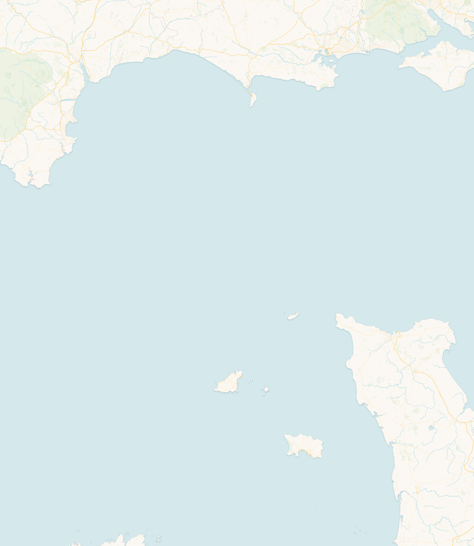
Alderney is the northernmost of the inhabited Channel Islands, lying close to Cap de la Hague on the French mainland; on a clear day, France is easily visible. It is part of the Bailiwick of Guernsey but governs much of its own affairs through its own legislature, the States of Alderney. The main settlement is St Anne, and Braye is the principal harbour; the small island of Burhou lies just offshore.
Alderney’s character comes from a contrast: a calm, spacious island surrounded by some of the strongest tidal streams in the region. Beaches can be quiet even in summer, coastal paths cross grassland, cliff and wetland, and the sea is visible from almost everywhere, yet just offshore the water can be moving hard.
The Alderney Race (the Raz Blanchard), between the island and Cap de la Hague, is known for exceptionally powerful tidal streams, and the Swinge runs between Alderney and Burhou. This is about tidal current (the speed of the flowing water) as much as tidal height, and the two are not the same. Around the headlands, reefs and offshore rocks the water is complex, which is why anyone on or in the sea here needs proper local information rather than just a high-water time.
Closer in, the tide still rewards timing: low water opens up rock pools and links neighbouring stretches of beach, and Braye, sheltered by its breakwater, is usually the most sheltered of the main beaches, though conditions still change with wind, weather and tide. One beach to know about is Platte Saline, where local safety guidance warns against swimming because of dangerous currents.
West of Alderney, the narrow channel known as the Swinge separates the island from Burhou and its surrounding rocks. Like the better-known Alderney Race, it carries strong and complicated tidal streams, though the two passages are geographically distinct. From the western headlands Burhou can look close and peaceful, but the water between is not: currents accelerate around reefs, headlands and submerged rocks, and conditions change through the tidal cycle. This is water for experienced mariners with local knowledge, not a casual crossing from the shore.
Burhou itself is an important refuge for seabirds, including puffins and storm petrels. To protect breeding birds it is closed to visitors between 15 March and 1 August, and a Puffin Friendly Zone asks boats off its south-east coast to keep clear and slow down during the breeding season. Check the current official guidance rather than relying on dates copied from an older source. The powerful tides that sweep past these rocks help make the surrounding waters rich in marine life, supporting the fish and the seabirds.
Official guidance: Visit Alderney: the puffins of Burhou · Alderney Ramsar code of conduct
Alderney’s beaches lie close together, but they face different directions and can feel very different depending on the wind, the swell and the tide.
The main sandy beach beside the harbour. The long Victorian breakwater gives it more shelter than the open western and northern shores, and Visit Alderney describes its calm waters as a popular place to paddle and swim. Conditions can still change with the weather, the tide and activity around the harbour.
A curve of white sand on the north-east coast, sheltered by rocky headlands on either side and backed by dunes near the island’s campsite.
A north-facing bay, more exposed to open water, and known as one of the island’s best beaches for surfing when there is swell.
A wide, half-mile sweep of sand along the south-east coast, backed by an anti-tank wall and the Longis nature reserve, with layers of the island’s military history close by.
A stony, rocky bay on the west coast looking towards Burhou and the Swinge. It suits coastal views, sunsets and rock-pooling when conditions allow, rather than being a swimming beach.
A long, exposed shingle beach on the north-west coast. Visit Alderney’s guidance says swimming is not allowed here because of a severe undercurrent.
Official guidance: Visit Alderney: beaches
Alderney is one of the most important wildlife islands in the region. Northern gannets nest in large numbers on the offshore stacks of Les Étacs and Ortac, puffins breed around Burhou in the season, and the island is a landfall for migrating birds. Grey seals are seen offshore, the island is famous for its blonde hedgehogs, and the Longis nature reserve holds a remarkable mix of marine, intertidal, heath, grassland, wetland and woodland habitats, including the endemic Alderney sea lavender.
Alderney carries traces of prehistoric and Roman activity, but its landscape is dominated by fortification: a ring of Victorian forts and the great harbour breakwater, and then the works of the German Occupation. The Occupation was severe here: the civilian population was evacuated, and the island held forced- and slave-labour camps. That history deserves careful, well-sourced telling, and is best explored through the Alderney Museum and specialist accounts.
Alderney is part of the Bailiwick of Guernsey, but it has its own legislature, the States of Alderney, and runs many of its own affairs.
About 8 square kilometres (3 square miles), roughly 3.5 miles long by 1.5 miles wide.
It is the channel between Alderney and Cap de la Hague in Normandy, known for some of the strongest tidal currents in Europe.
Braye, sheltered by the breakwater, is generally the most sheltered of the main beaches, though conditions still vary with wind, weather and tide. Visit Alderney’s guidance says swimming is not allowed at Platte Saline because of a severe undercurrent, and the currents around the island generally can be very strong, so always seek local advice.
Puffins breed around the offshore island of Burhou during the season and are best seen by boat rather than up close on the colony. Burhou is closed to visitors between 15 March and 1 August to protect breeding birds.
Yes. On a clear day the French coast at Cap de la Hague is easily visible.
This guide draws on information from official island authorities, local heritage and environmental organisations, and recognised coastal and hydrographic sources.
Last reviewed: July 2026. Geographic, historical and coastal information has been checked against official and authoritative local sources. Tide predictions remain forecasts, and local conditions can vary.
Check today’s high and low waters before heading to the shore, or open the full Alderney tide table.
 Jersey