 Jersey Tides
Jersey tide times · St Helier · 12 October
Sun & moon
The week ahead
Every high and low water for the next seven days.
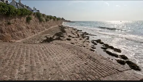
See Jersey’s coast through the changing tide
Community photos of Jersey’s beaches, bays and coastline at different stages of the tide, showing how each place changes as the water comes and goes.






Today’s tides in your feed, every morning
Follow Jersey Tide Times on Facebook and the day’s high and low water land in your feed each morning, ready before you head out. No app to install, nothing to check.
Causeways Beta
These estimated access times are based on the predicted Jersey tide. Check conditions and signs at the site, allow plenty of time to return, and never wait for the water to reach the path.
Experimental. These tide-based access windows are new and still being checked, and the thresholds are estimates. Treat them as a rough guide only, never a safety decision, and please tell us if a time looks wrong for a spot you know.
Sea pools Beta
The periods today when Jersey’s tidal bathing pools are uncovered by the sea, from the predicted Jersey tide. A guide only, not live wave or weather conditions.
Jersey’s beaches and bays
Jersey’s coastline can look completely different at high and low water. Find the best time to visit each beach and bay.
Add Jersey tide times to your website
Run a café, guesthouse, local business or blog? Add a free tide card showing today’s Jersey tide times, weather and sea temperature. It updates automatically, so the information is always current.