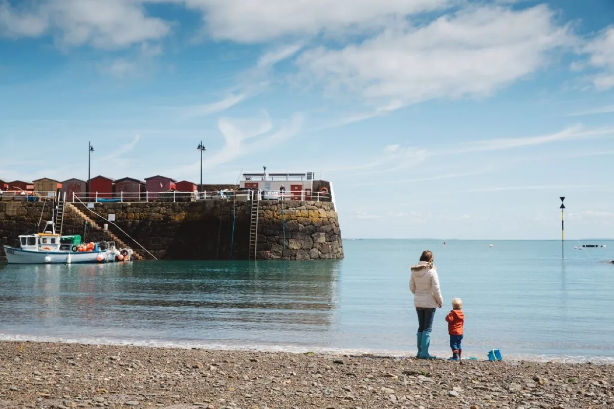
A small north-east fishing harbour where the tide reveals sand and shingle between the boats. Higher water fills the harbour, while low tide exposes much of its working shore.
These predictions use St Helier, Jersey’s standard reference port. Local timing and conditions at Rozel Bay can vary slightly with weather and coastal geography. Times are shown in local Jersey time.
Rozel is a small working fishing harbour on Jersey's north-east coast. The official bathing-water profile describes a shallow bay about 300 metres long, with a fairly steep shore consisting of sand, shingle and rocky areas.
At lower water, boats settle onto or close to the exposed harbour floor and a small area of pale sand becomes more visible. At higher water, the sea fills the harbour and the visual emphasis shifts from beach to boats, pier and moorings.
Rozel is best understood as a harbour beach, not a conventional uninterrupted swimming beach.
As the tide falls, the water retreats through the harbour and exposes sand, shingle, rocks and wet areas around the boats. The visible beach becomes larger, but the route to the remaining water may cross uneven working ground.
At higher water, access to the sea becomes shorter and the harbour takes on a more enclosed appearance. However, moored boats, ropes and vessel traffic mean the water is not an unrestricted swimming area.
Near high tide, very little dry shore may remain in parts of the harbour. Visitors seeking a broad sandy beach will find more space at Anne Port or Grouville.
Rozel is used for bathing, but it is a working harbour and not a lifeguarded swimming beach.
The bay is relatively shallow compared with Bouley, although the shore still slopes fairly steeply. Entry conditions vary with the tide, because sand at one state may be replaced by shingle, rocks or harbour sediment at another. Rozel can offer sheltered-looking water in suitable conditions, but swimming must be secondary to harbour operations.
Swimmers and paddlers should watch for:
The pier, slipway and moorings remain in active use. Keep clear of:
Low tide reveals rocks and small pools around the harbour margins, and there is interest in watching the harbour floor emerge and boats settle as the water recedes.
This is not pristine natural foreshore throughout. Some exposed areas may contain chains, ropes, fishing equipment, broken shells, slippery weed and soft sediment, so footwear is advisable.
Rozel is included in Jersey's bathing-water monitoring programme. The official profile identifies two streams entering the bay through eastern and western outfalls and warns that stream and outfall water quality may deteriorate during and after heavy rainfall. Avoid entering discoloured water or playing in freshwater runoff crossing the shore.
The harbour and pier are largely level and tarmacked, with level access to the waterfront kiosk. A few steps are required to reach the upper part of the pier. Accessible parking, accessible toilets and partial wheelchair access are listed.
The beach itself remains uneven and is not fully wheelchair accessible.
Facilities include:
Rozel is not lifeguarded.
No community photos of Rozel Bay yet. Be the first to add one and help build a picture of the beach at every state of the tide.
Add your photoOther bays and beaches close to Rozel Bay.
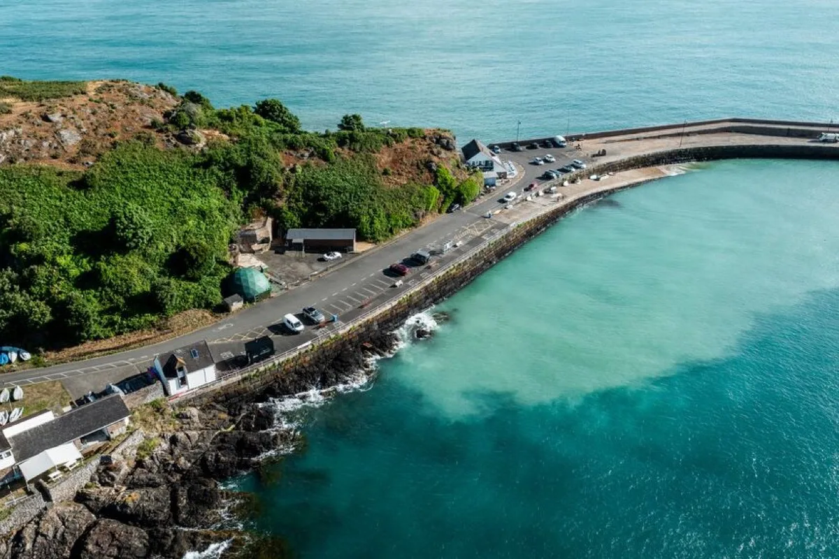 North-east
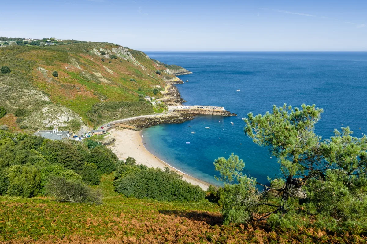 North
North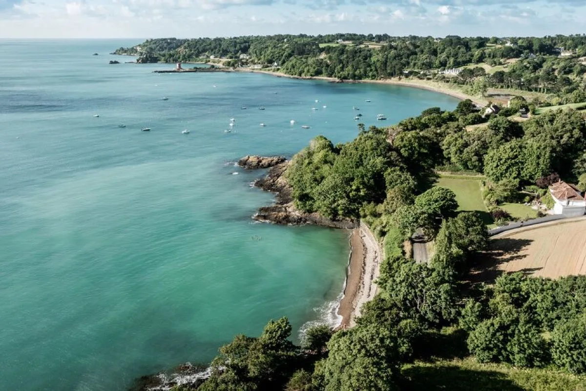 East
East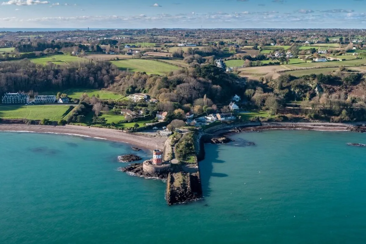 East
EastTides. Tide predictions are forecasts. Actual sea level is affected by atmospheric pressure, wind and waves. Always observe the sea and your surroundings.
Swimming. Sea swimming carries risks: currents, waves, rocks, submerged structures, boats and cold water. This page is for planning and does not confirm conditions are safe. Do not assume the beach is lifeguarded.
Facilities. Facilities and café opening hours change seasonally. Check directly before making a journey specifically to use them.
 Jersey