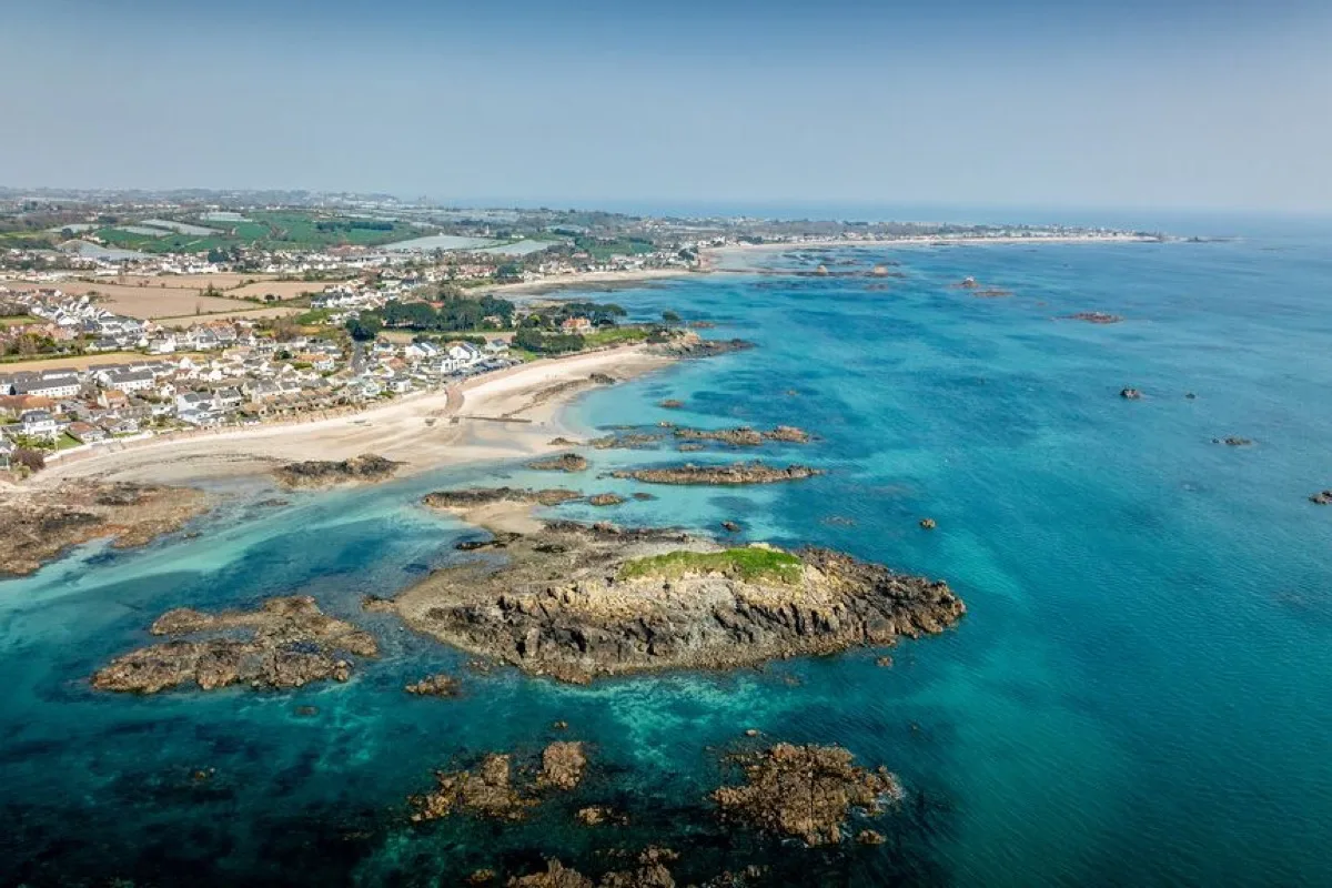
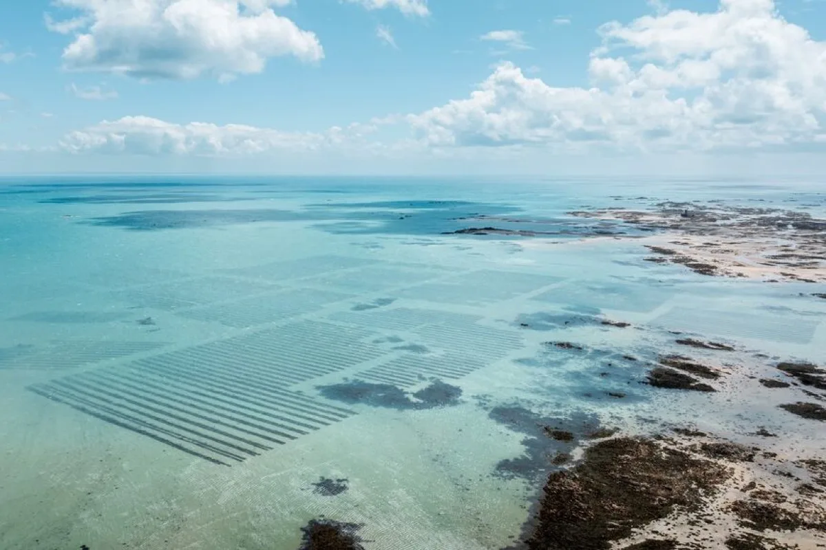
A south-facing sandy beach framed by rocks and pools. The sea retreats a long way at low water, exposing a route towards La Motte, while higher water brings better swimming and paddling closer to shore.
These predictions use St Helier, Jersey’s standard reference port. Local timing and conditions at Green Island can vary slightly with weather and coastal geography. Times are shown in local Jersey time.
La Motte becomes accessible as the tide falls, but the route is cut off again by the incoming sea. Turn back early and do not rely on other people still being on the rocks as evidence that the crossing remains safe.
Green Island is a sandy south-facing beach in St Clement, named after the grassy tidal islet immediately offshore. The islet's formal name is La Motte, although Green Island is commonly used for both the beach and the island.
The upper beach is sandy and relatively compact. As the tide falls, the shore expands considerably and rocks, pools, channels and patches of wet sand appear between the beach and La Motte.
Its appearance changes markedly through the tide. Near high water it is a contained sandy swimming beach; near low water it becomes part of Jersey's much larger south-east intertidal landscape.
Around high water, the sea covers most of the lower rocks and reaches close to the main sandy beach. This normally gives the shortest and simplest route into swimmable water.
As the tide falls, the water retreats rapidly across the gently sloping shore. More sand appears first, followed by rocky ridges, pools and channels. Around low water, La Motte becomes joined to the mainland by exposed intertidal ground.
The beach is often described as best for swimming and paddling close to high water because the sea travels so far out at lower states of tide, but large high tides and waves can substantially reduce the remaining dry beach. A more useful guide is: rising mid tide brings the water closer with sand usually still available; around high tide gives the shortest swimming access but less beach space; falling mid tide is a good balance for paddling and initial rock-pool exposure; low tide is best for exploring but poor for a quick swim from the beach.
La Motte can be reached on foot when the tide is sufficiently low, but the exposed route is crossed by channels and does not remain available for the whole low-water period.
The route can become unsafe before the surrounding rocks appear fully covered. Water returns through lower channels first and can separate the islet from the beach while large areas of rock and sand remain visible.
Green Island is popular for swimming because it faces south and is less exposed to Atlantic swell than Jersey's west coast. The sandy central shore generally offers the simplest entry.
At lower water, swimming becomes less convenient because the sea is farther away and rocks increasingly interrupt the route. At higher water, entry is shorter and usually involves more sand, although submerged rocks remain around the sides of the bay. The beach is not lifeguarded.
Swimmers should watch for:
The gently shelving sand near the main beach is well suited to paddling when the water is close enough to shore. At lower tide, children may be drawn towards distant pools and channels rather than remaining beside the main beach, and the scale of the exposed shore makes direct supervision important.
Green Island is one of Jersey's better easily reached rock-pooling locations. The falling tide exposes pools around the rocky ridges between the beach and La Motte. The most accessible pools are those closest to the beach; exploring progressively farther towards La Motte increases the risk of a channel filling across the return route. Footwear with grip is useful because the exposed rocks can be sharp and slippery.
The sandy beach can provide a straightforward launch around mid to higher water. At low tide, the water may be a long carry away across sand and rocks. Avoid crossing shallow reefs without knowing where submerged rocks lie, and note that offshore winds can carry boards and inflatables away from the beach even when the inner water looks smooth.
The main access is close to the coast road, parking and food outlets, and the route onto the upper beach is relatively short compared with Jersey's cliff-access coves.
The sand and exposed rocky shore are not fully wheelchair accessible, although you may be able to reach the beach edge or enjoy the view from the roadside area. Parking is popular and may fill quickly in warm weather.
Food availability is nearby rather than guaranteed; the restaurant and hut keep their own opening times. Facilities include:
Green Island is not lifeguarded.
No community photos of Green Island yet. Be the first to add one and help build a picture of the beach at every state of the tide.
Add your photoOther bays and beaches close to Green Island.
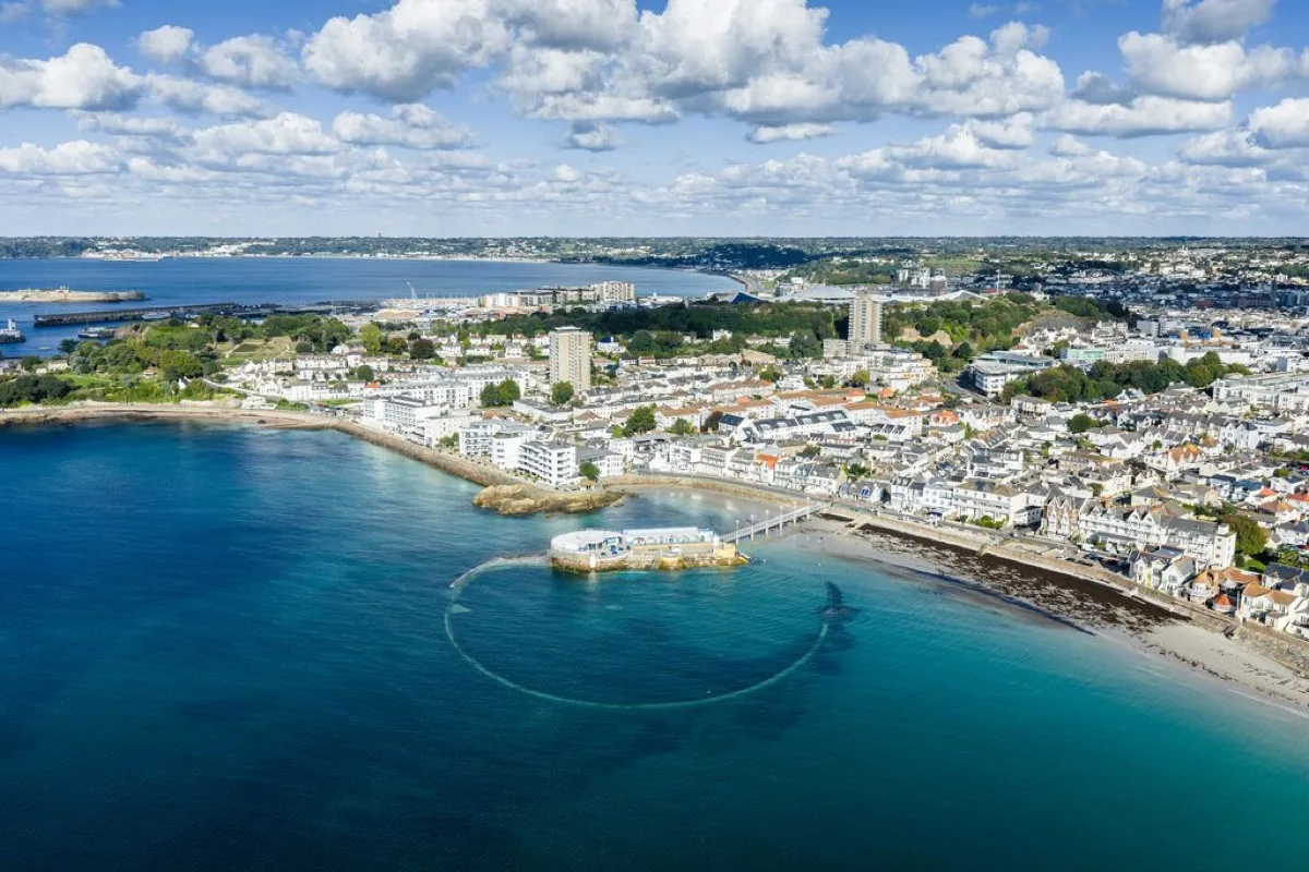 South
South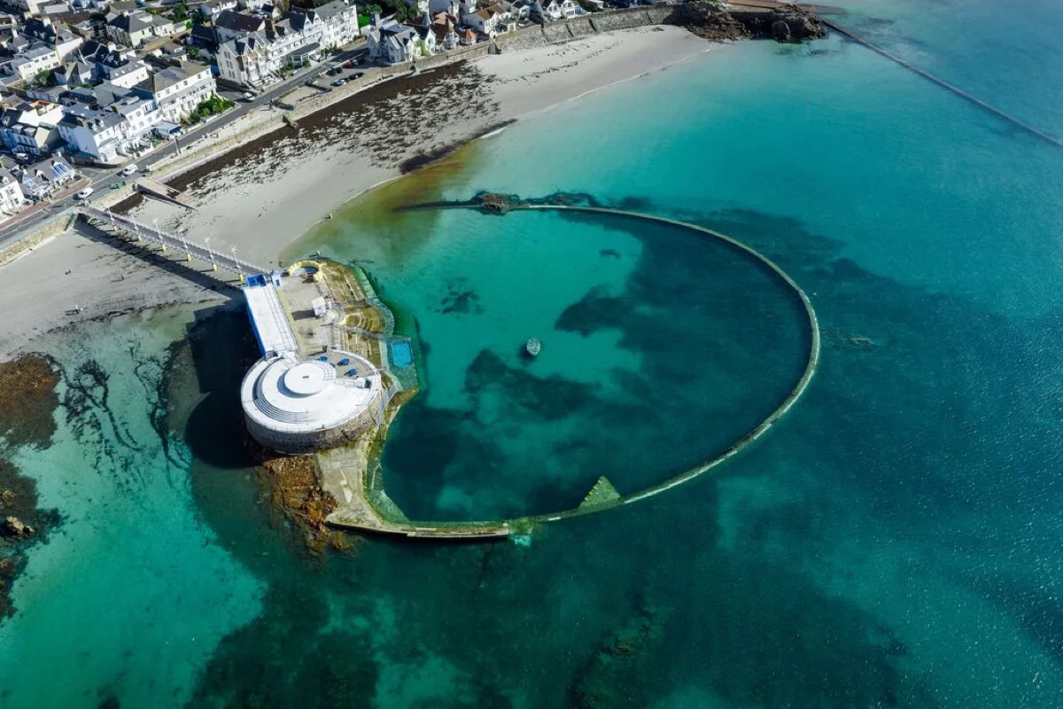 South
South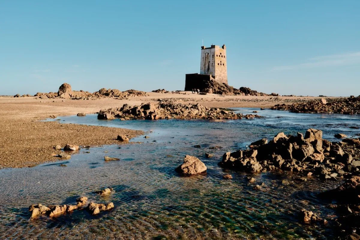 South-east
 East
EastTides. Tide predictions are forecasts. Actual sea level is affected by atmospheric pressure, wind and waves. Always observe the sea and your surroundings.
Swimming. Sea swimming carries risks: currents, waves, rocks, submerged structures, boats and cold water. This page is for planning and does not confirm conditions are safe. Do not assume the beach is lifeguarded.
Facilities. Facilities and café opening hours change seasonally. Check directly before making a journey specifically to use them.
 Jersey