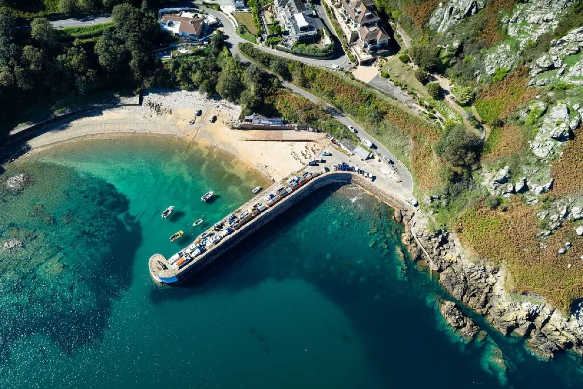
A small working harbour beneath Jersey's north-coast cliffs. Low tide reveals sand below the upper shingle, while higher water fills the harbour and brings the sea close to the pier.
These predictions use St Helier, Jersey’s standard reference port. Local timing and conditions at Bonne Nuit Bay can vary slightly with weather and coastal geography. Times are shown in local Jersey time.
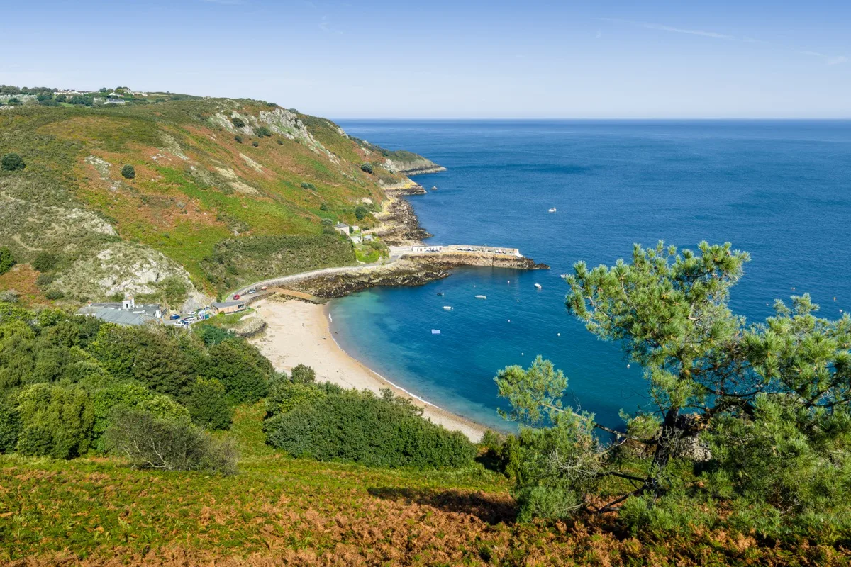
Bonne Nuit is a compact natural harbour on Jersey's north coast, enclosed by steep cliffs and a substantial stone pier. It remains a working harbour, with fishing boats, moorings and vessel movements forming part of the bay's everyday use.
The beach is relatively small and changes noticeably through the tide. Shingle and pebbles dominate the upper shore, while a patch of sand appears below them at lower water. This is not a broad sandy beach at every state of tide, despite how it can appear in photographs taken near low water.
The north-facing position and high surrounding land mean the beach can lose direct sunshine earlier than more open west- and south-coast locations.
As the tide falls, the water retreats beyond the upper pebbles and exposes a small sandy area inside the harbour. Boats settle lower on their moorings, and some parts of the harbour floor and rocky margins become visible.
At low water, the bay offers more room for sitting and exploring, but reaching the sea can involve crossing sand, shingle and uneven harbour ground. It does not develop the vast low-water beach seen at Grouville or St Ouen's Bay.
As the tide rises, the sandy area is gradually submerged and the sea returns towards the upper shingle, slipway and harbour structures. Higher water generally gives a shorter route into the sea, although available sitting space becomes limited.
Bonne Nuit is regularly used for sea swimming, but it remains a working harbour rather than a supervised bathing beach. There are no seasonal RNLI lifeguards.
The pier provides some protection from waves arriving from certain directions, but the bay should not be assumed to be always calm. Northerly wind or swell can enter the harbour, and reflected movement may occur around the pier and rocky sides.
Swimmers should remain alert to:
Fishing boats still use Bonne Nuit, including vessels landing crab and lobster. Keep the slipway and working areas clear and avoid treating moorings, boats or fishing equipment as play structures.
The harbour setting is an important part of any visit; describing Bonne Nuit simply as a sheltered beach would omit one of the main practical considerations. Swimming close to the pier entrance or across routes used by vessels is not encouraged, and a harbour that appears quiet can become active with little warning.
Lower tides reveal rocks around the edges of the bay and below the harbour walls. There may be small pools and channels to explore, but Bonne Nuit is not one of Jersey's major rock-pooling beaches.
The shore can include loose pebbles, weed-covered rocks, wet harbour sediment, mooring chains and equipment, and sharp shells around working areas, so shoes are advisable away from the central sand. Do not continue around rocky corners without checking that the return route remains available as the tide rises.
The road descends steeply into the harbour, where parking is available close to the shore. The beach itself consists of shingle, sand and uneven surfaces, so level arrival at the harbour does not mean the beach is fully wheelchair accessible.
The pier and harbour edge offer firmer surfaces for enjoying the view without crossing the beach. Access onto the shore is principally via the slipway and the edges of the harbour, which may become wet or slippery.
Facilities include:
Bonne Nuit is one of Jersey’s routinely monitored bathing waters. Monitoring runs during the bathing season, but each result reflects the water at the time the sample was taken rather than a permanent guarantee. The official profile identifies runoff and surrounding land as possible influences, and water quality can worsen during and after heavy rainfall.
Bonne Nuit is not lifeguarded.
No community photos of Bonne Nuit Bay yet. Be the first to add one and help build a picture of the beach at every state of the tide.
Add your photoOther bays and beaches close to Bonne Nuit Bay.
 North
North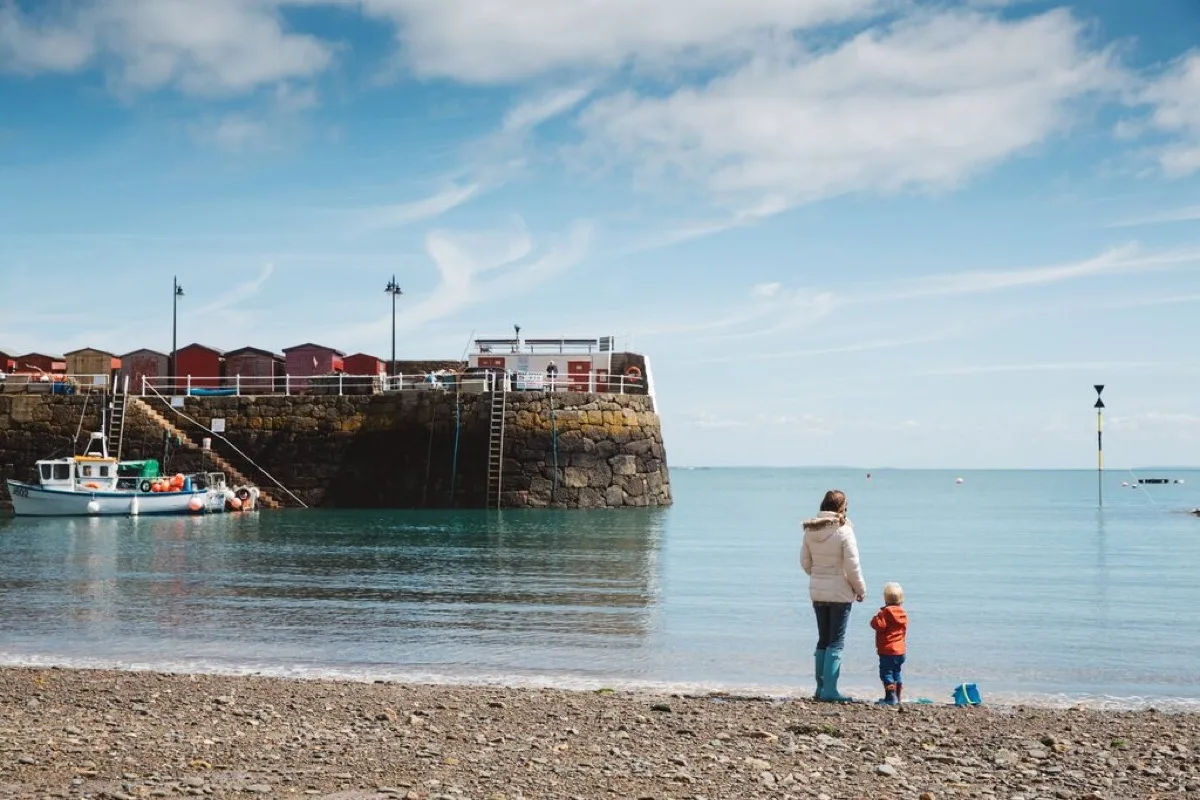 North-east
 North
NorthTides. Tide predictions are forecasts. Actual sea level is affected by atmospheric pressure, wind and waves. Always observe the sea and your surroundings.
Swimming. Sea swimming carries risks: currents, waves, rocks, submerged structures, boats and cold water. This page is for planning and does not confirm conditions are safe. Do not assume the beach is lifeguarded.
Facilities. Facilities and café opening hours change seasonally. Check directly before making a journey specifically to use them.
 Jersey